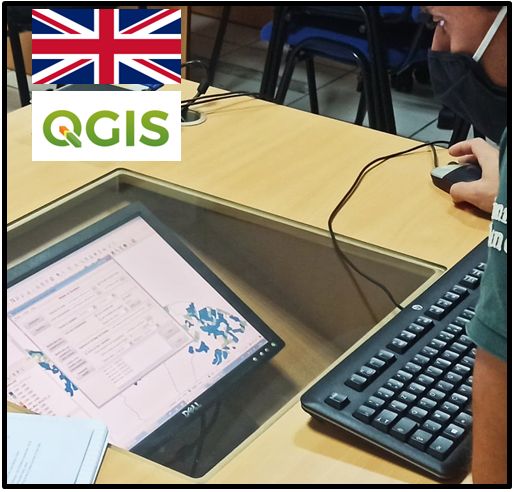
This distance learning course module entitled QGIS training - using an example dataset from South Africa is a completementary module of the "Intro to GIS " Module but it is built from a dataset, based on South Africa.
It was built within the framework of the STOSAR project, supported by FAO and CIRAD, for the 16 SADC countries.
Scientific leaders: Annelise Tran (UMR TETIS) and Hélène GUIS (UMR ASTRE) from CIRAD.
Pedagogical objectives:
At the end of the training, participants will:
- Know the basic concepts, theories, and principles of Geographic Information System
- Master all basic functions of QGIS for creating maps
- Conduct thematic analyzes and simple queries to represent and analyze data from their case studies

- Enseignant: Annelise Tran

- Enseignant: David Chavernac
- Enseignant: vladimir grosbois
- Enseignant: Laure Guerrini
Type de cours: ACCES LIBRE AVEC INSCRIPTION

- Enseignant: cecile diaw
- Enseignant: Eric Etter
- Enseignant: Pascal Hendrikx
- Enseignant: oumaima mtaallah
- Enseignant: Annelise Tran
Type de cours: ACCES RESTREINT (PROJET, CURSUS...)
PADI-web
est
un système de biosurveillance dédié à la surveillance
des sources d'actualités en ligne
pour la détection des maladies infectieuses animales émergentes.

- Enseignant: cecile diaw
- Enseignant: Sylvain Falala
- Enseignant: oumaima mtaallah
Type de cours: ACCES RESTREINT (PROJET, CURSUS...)
